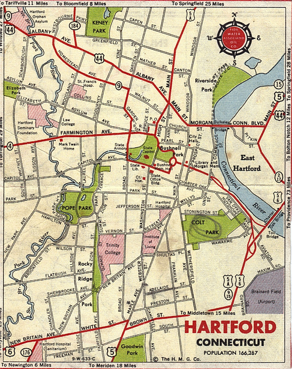
It was probably sometime in the 1940s or early-to-mid-1950s that the Tidewater Associated Oil Co. offered this map of the city. For my rationale on the dating, along with a full-size version of the map, go here.

News about the history of Connecticut's capital city. A companion to HartfordHistory.net
It was probably sometime in the 1940s or early-to-mid-1950s that the Tidewater Associated Oil Co. offered this map of the city. For my rationale on the dating, along with a full-size version of the map, go here.
